Liechtenstein is a very small country, rather a principality which till these days have their own duke and duchess. It is one of the smallest nations and the whole country is just 25 kilometres long – you can walk through it all in 5 hours if you wish.
Liechtenstein is cozily sitting between Austria and Switzerland and is easily reachable by roads.
The whole country speaks german and the local currency is a Swiss Franc.
Liechtenstein has a capital which is called Vaduz and is a home for a little more than 5000 people and as well dozen of small villages all around in the mountains.
I personally have hiked in Liechtenstein just two times and the second time was a blast. I really liked it, Liechtenstein is an amazing little paradise with huge mountains, valleys, cows, interesting wooden architecture, delicious food and dozens of hiking trails.
Table of Contents
Where to hike in Liechtenstein?
Even though Liechtenstein is small – it has plenty of mountains and places to hike.
If you come to Vaduz – you will see that it is pretty flat, but the terrain starts to climb right in the streets of Vaduz where you can reach the home/castle of the Duke. Later on it keeps climbing and climbing.
There are plenty of hiking routes and you can find some of them in the official Liechtenstein hiking website: Hiking in Liechtenstein.
You will definitely find something for you: some are very steep and demanding, some are very flat and easy – but pretty much all hikes are with great views to the mountains.
Liechtenstein has many mountains over 2000 meters and the highest one is called Naafkopf – 2570 meters and it is right in the middle of Austria, Switzerland and Liechtenstein – in a minute you can visit all three countries there.
Malbun
What we have done, we came to Malbun – the famous Liechtenstein skiing resort.
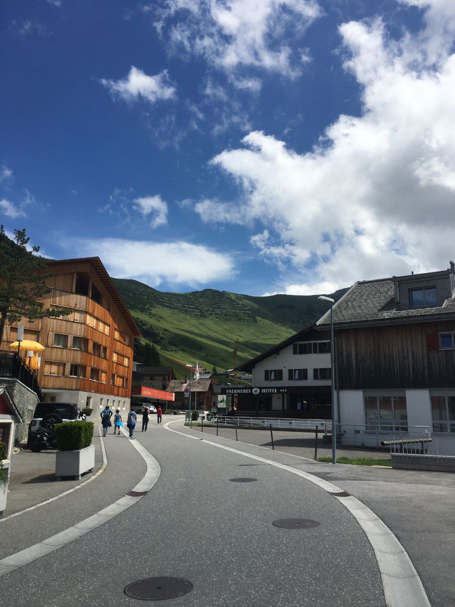
It is a village, just 10-15 minutes drive from Vaduz and easily reachable by cars or public transport.
With local buses you will reach Malbun in 28 minutes. Check out the connections right here: Liechtenstein public transport.
If you come by car – there are three very huge parking lots right before the village. You can park there a car for free. If there’s no place to park in the free parking, there’s a big underground parking in the village.
Malbun is a very beautiful village sitting at 1600 meters altitude which is very alive in the summer time as well, so it is a perfect hiking location.
Hiking in Malbun
Once you have left your car, you can go straight to the village.
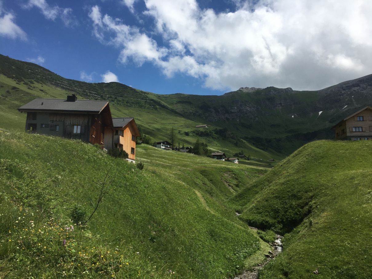
You can actually start your hike even three ways:
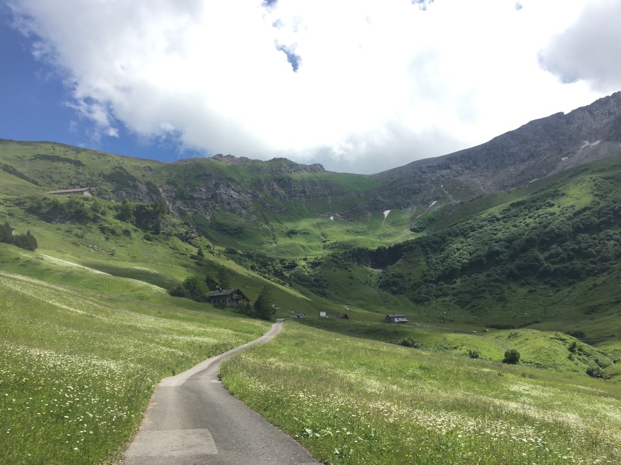
- Go to the Malbun church (it is very visible once you enter the village) and turn right – there’s a very well prepared gravel road (even suitable for cars). This way hike will be much easier.
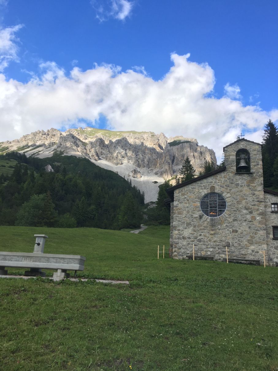
2. Go straight to the village center and head straight to the mountains. This trail is a bit harder, steeper, but you are going to meet even more cows this way. This is the one I did.
3. Go to the mountain gondola station: Malbunstrasse 58, Malbun. It is just 5 minutes walk from the parking. Get a ticket and go up to 2000 meters altitude where you will find a small Sareis mountain station. The ticket back and forth is just 15.30 CHF and the ride takes just 5 minutes. From there the hike to the mountains will be much easier.
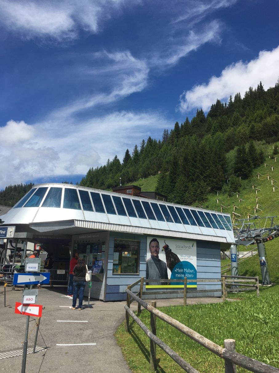
Once you have chosen the most comfortable hiking way for you, let us explore the whole hike and what is awaiting you.
Malbun – Augstenberg
Some short facts of the hike:
Distance: 11 kilometres.
Time: 3-4 hours
Ascent/Descent: 760 meters.
Hiking path: very well prepared, visible. Once you reach the altitude of 2000 meters – it is mainly rocky.
Difficulty: medium. You are going to ascend more than 700 meters, but the hike is not too demanding. Just pace yourself, you speed must be 3-4 kilometres an hour.
Stuff to take: on the top, weather is changing very fast: we had fog, small rain, sun, fog again and so on. For the whole hike I would take at least 2 liters of water for each, good hiking shoes (as you will walk a lot on the rocks), rain jacket and some snacks.
Augstenberg – is a mountain peak number 14 in Liechtenstein – it is 2359 meters high.
Malbun – Augstenberg hiking map
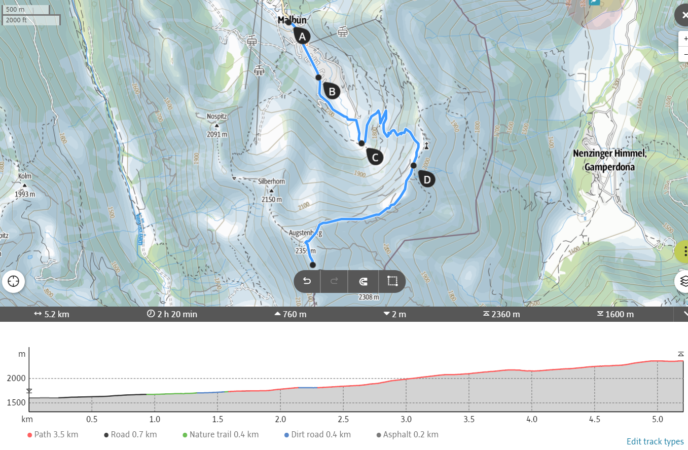
As you can see from the map, the hike up to Augstenberg is 5,2 kilometres, so if you take the same road back – the whole hike will be less than 11 kilometres, but I did a small detour on the way back, so for me it was 11 kilometres.
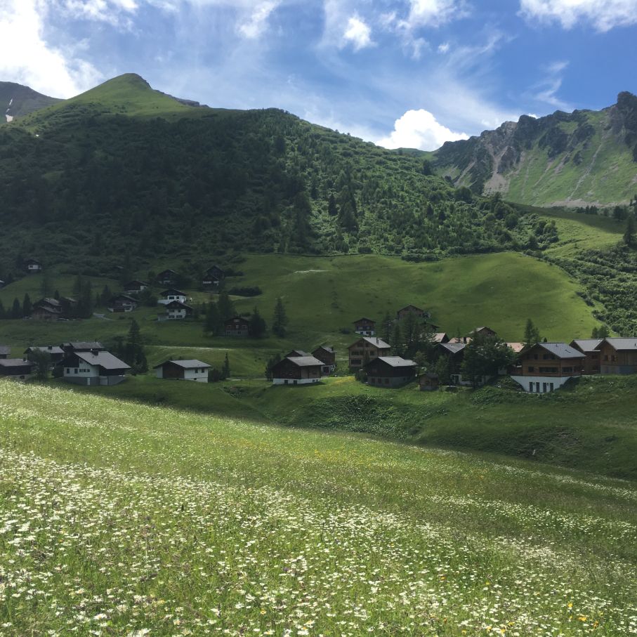
In the beginning I have just crossed the village of Malbun and in the end of it I reached the pastures of cows. From there the hike becomes a bit steeper, but nothing too hard.
This way I continue till the first cow farm where I meet even more cows.
Later on I got onto the gravel road (which begins in Malbun) and go up to Sareis mountain station, but you don’t have to reach it.
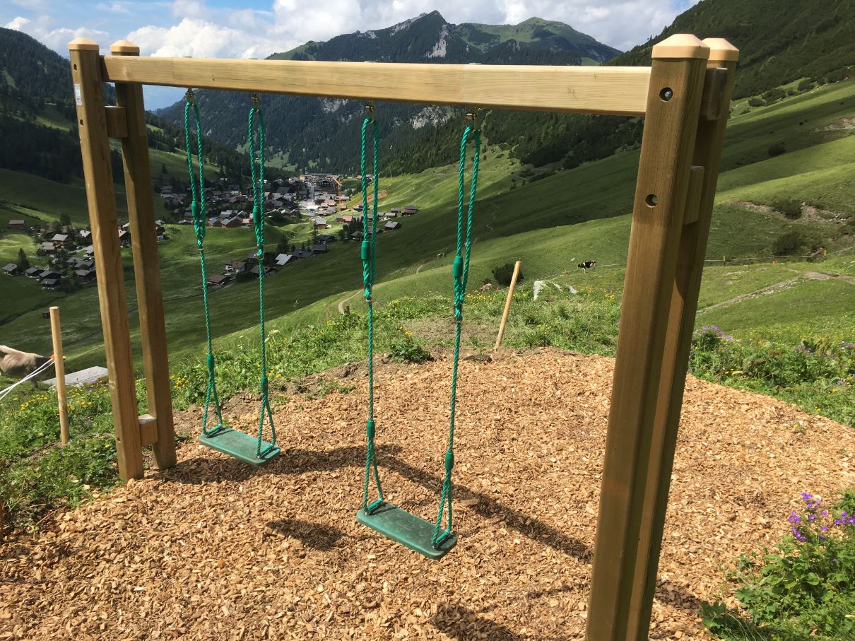
Once you reach the turn to the right, take it. It should be written Fürstin Gina Weg (it is the trail of Duchess Gina of Liechtenstein).
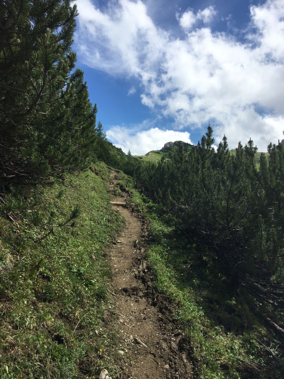
After this turn you will get into a small forest where the trail will lead you to the rocky part of the hiking path. At 2000 meters altitude all trees are gone.
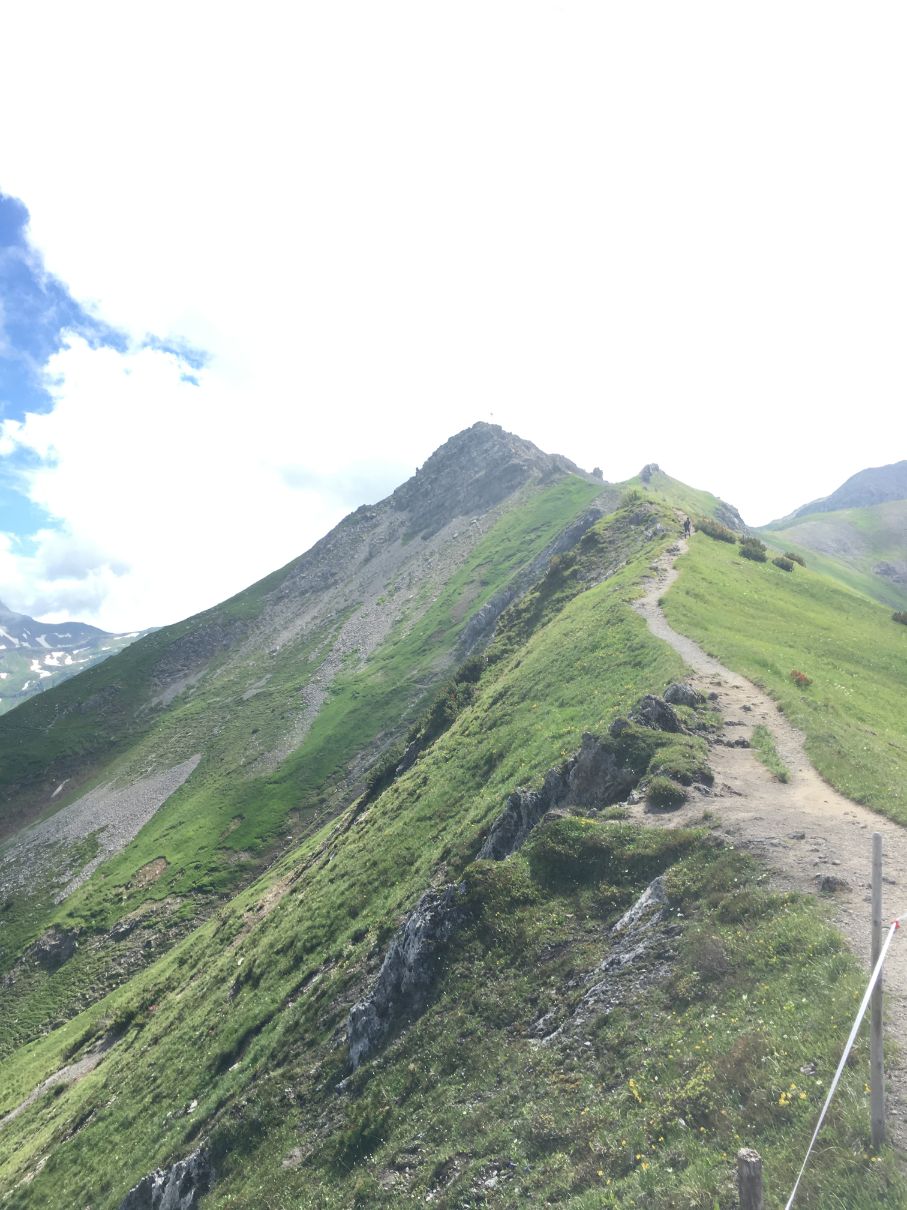
The rocky part of the hike is a bit more demanding, but if you pace yourself, it won’t be to hard.
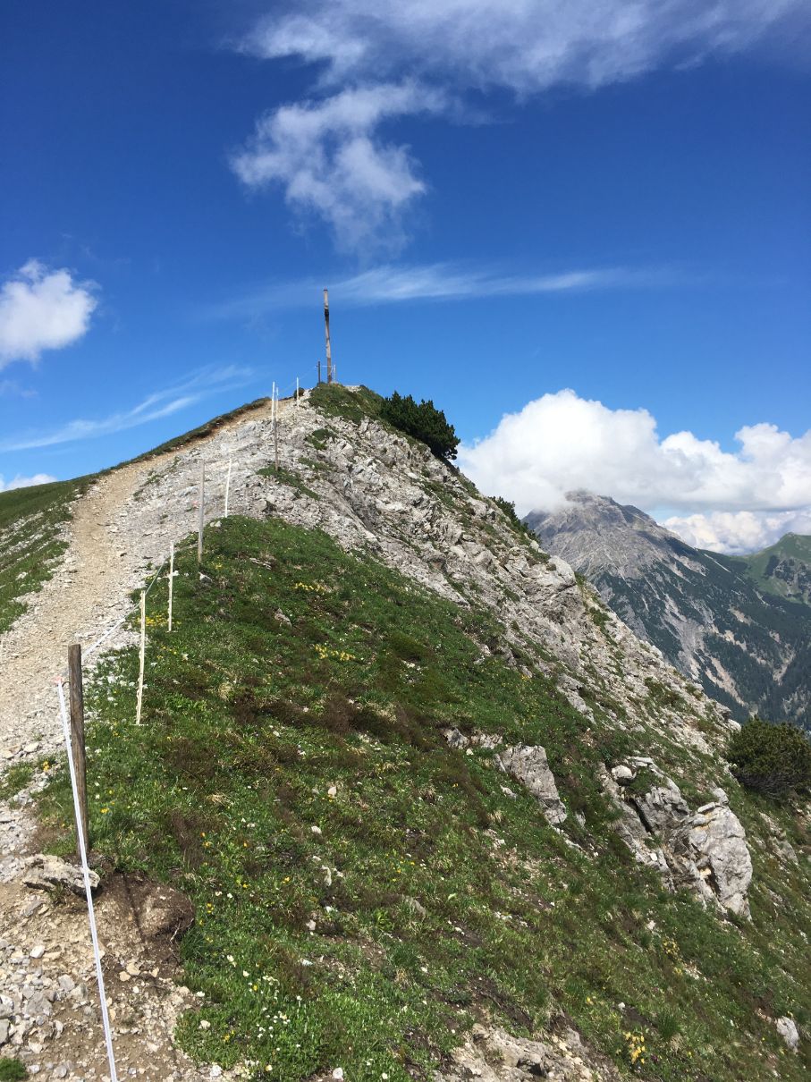
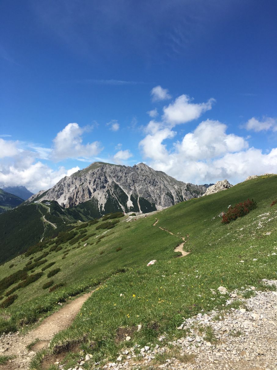
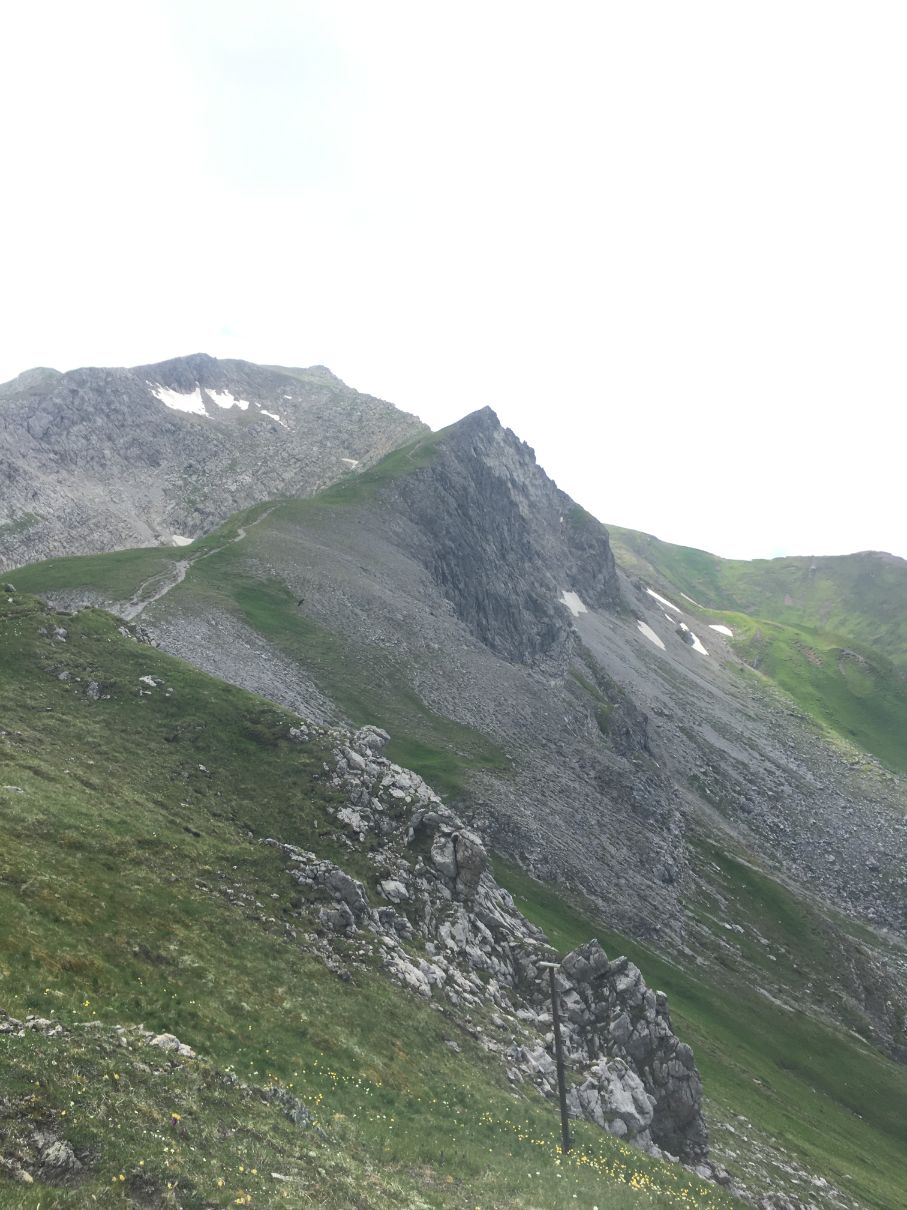
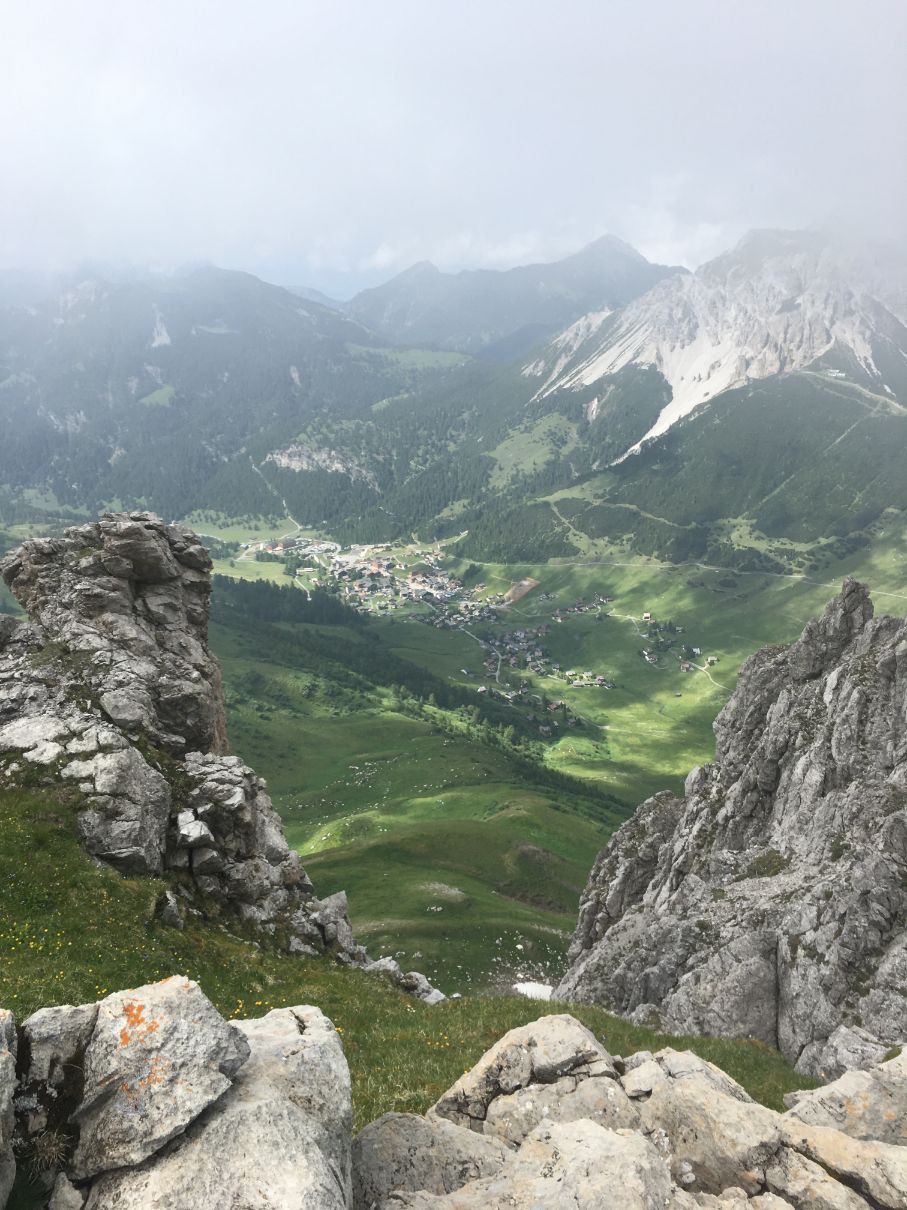
As you leave the forest, stunning views to Austrian Alps open up – Austrian border is right there. On the other side – wider and wider views to Malbun, which now looks like a small little settlement.
During the hike I haven’t met too many people, even though it was a sunny summer weekend, so it is a perfect place to relax and just be in the nature. Enjoy the views and take it slowly to the top.
After 2 hours hike you are going to reach the top where you will find a cross, a pretty convenient places to sit on the rocks and of course the majestic views.
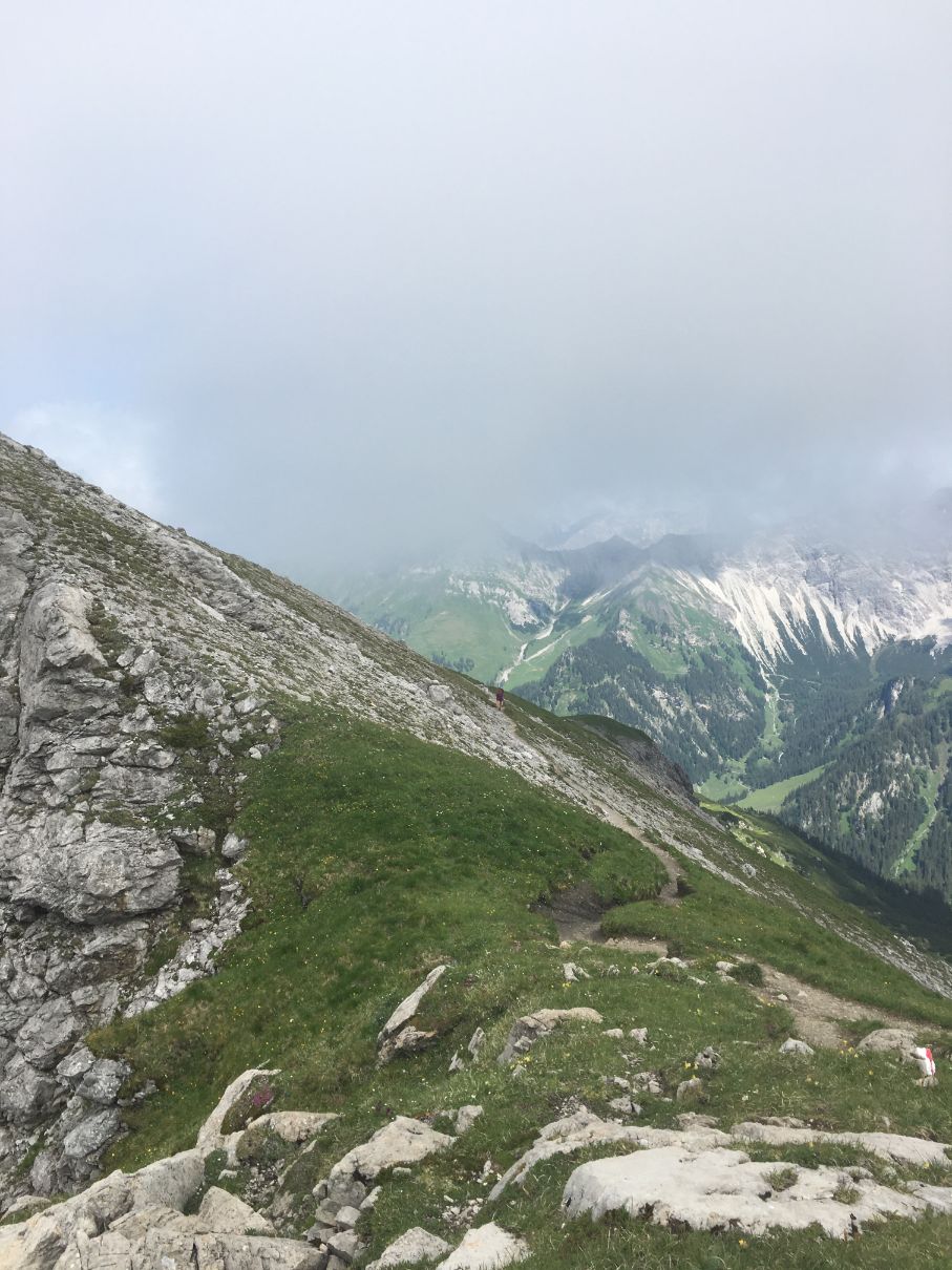
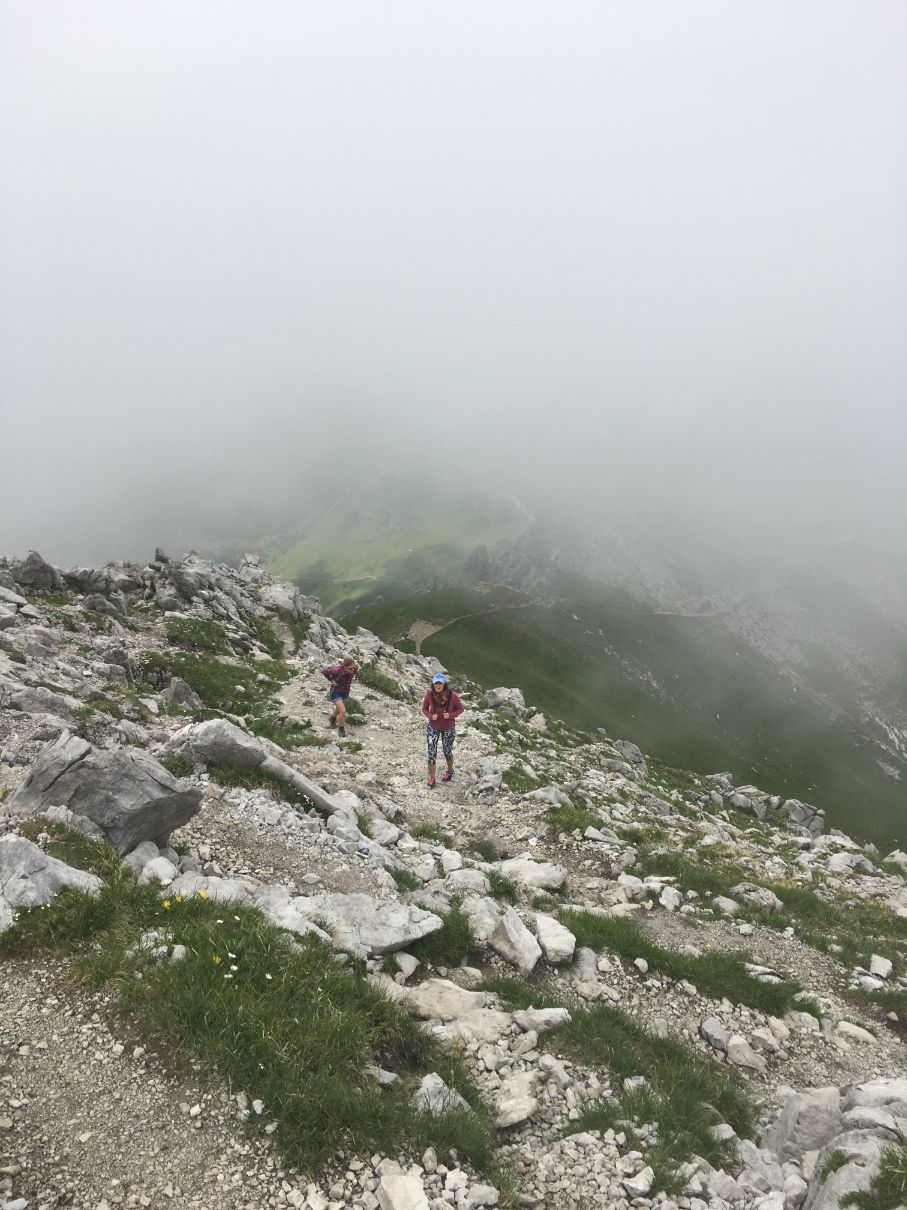
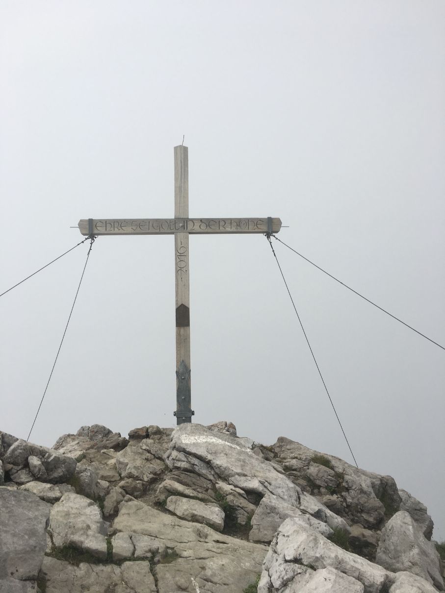
Once I was on the top, I was looking for an opportunity to do the loop hike and come back to Malbun the other way, but one part of the hike seemed to steep, only steep rocks. It is possible to go the whole way down to a mountain hut (Pfälzer Hütte) and then climb back a bit, but then the whole hike would be 5-6 hours.
If you have time, hike a bit further from Augstenberg to the hut direction – there I found a herd of sheep. These are very beautiful and friendly sheep – not possible to pet, they are too afraid, but they look extra cute.
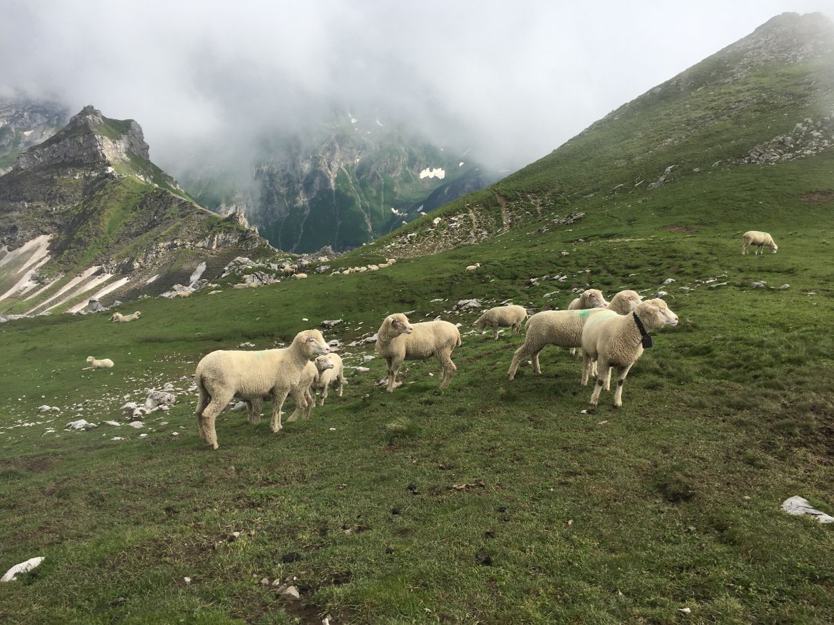
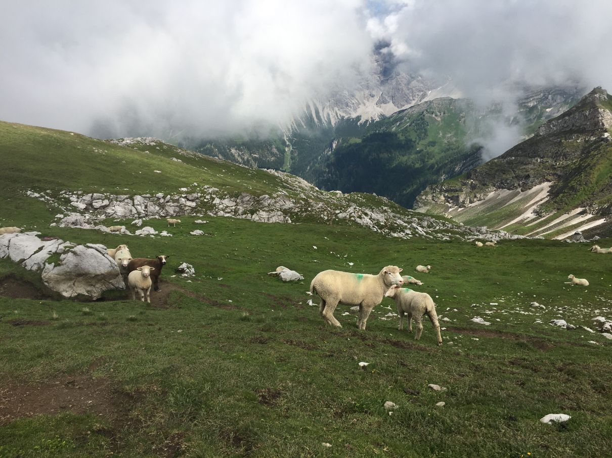
After 30 minutes break I took the way back to Malbun – the same way.
I was very lucky to stumble upon a marmot which was running around – it is his home that high.
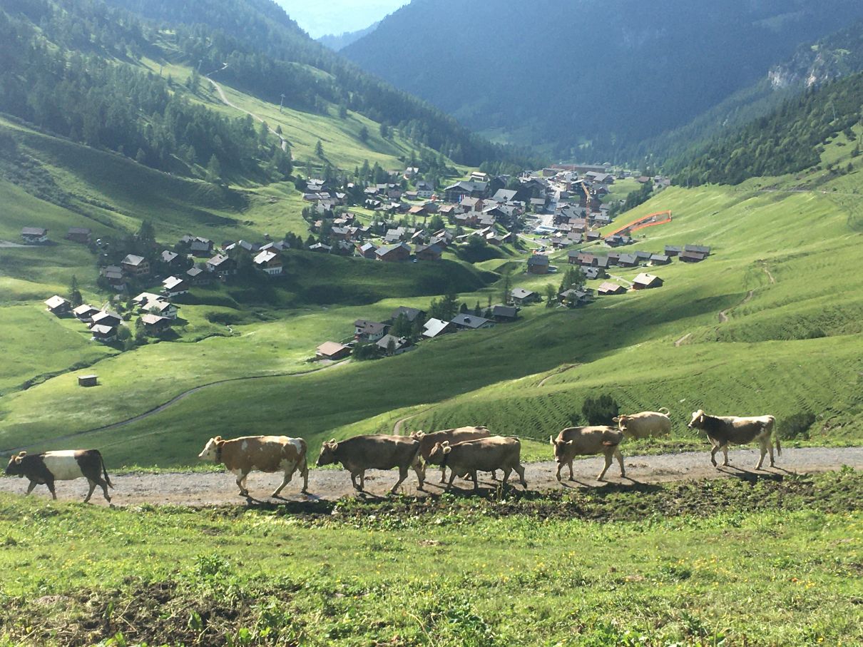
Later on, once I reached the cow farm (which I crossed on the way up) I saw an amazing spectacle, a big, huge herd of cows was moving all at once through the mountains to a different pasture which was on the other side of the valley.
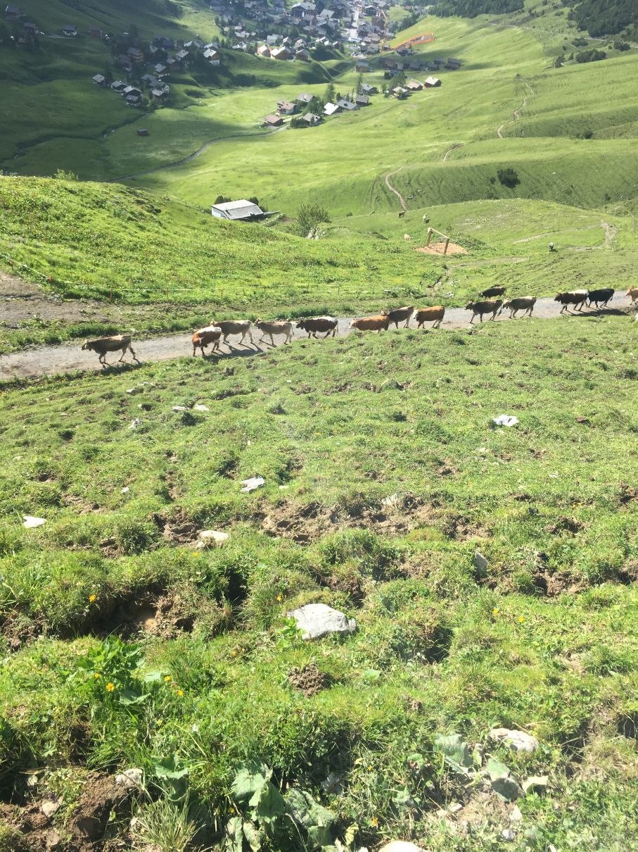
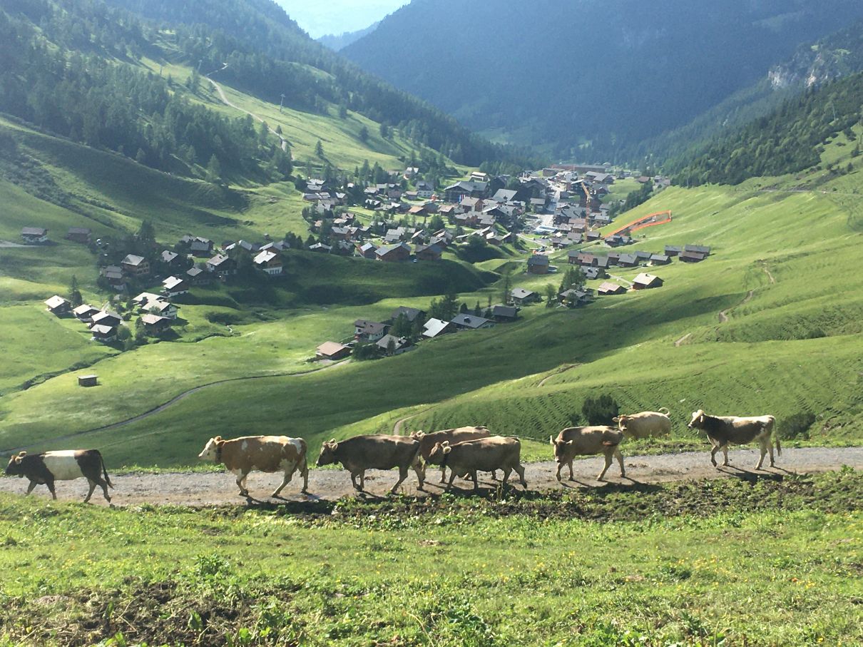
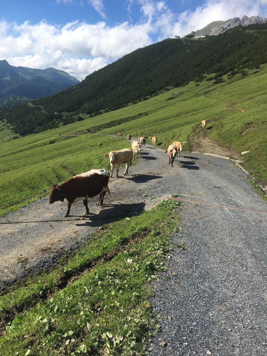
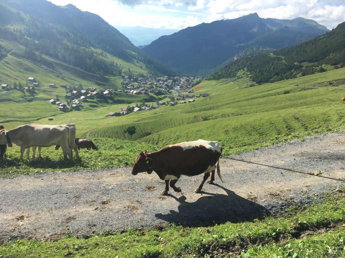
It is even hard to explain how beautiful it looked – hundreds of cows, slowly, all together, mooing very very strongly move to another place. I saw plenty of different cows: white, black, brown, spotted, big horns, small horns and so on. This whole theater lasted for 30 minutes and enjoyed each second of it.
Oh, what was very surprising – many cows stopped by a horse family which is as well eating there to smell it and communicate, but many times horse simply bit the cow in the face. This is the first time I saw such behavior in farm animals.
After this big mountain life movement, for me it was just another 30 minutes back to the car.
Malbun hike conclusion
After a hike you can find a few nice restaurants in Malbun or just rest by the Malbun tourism center which has an open terrace with drinks and some food.
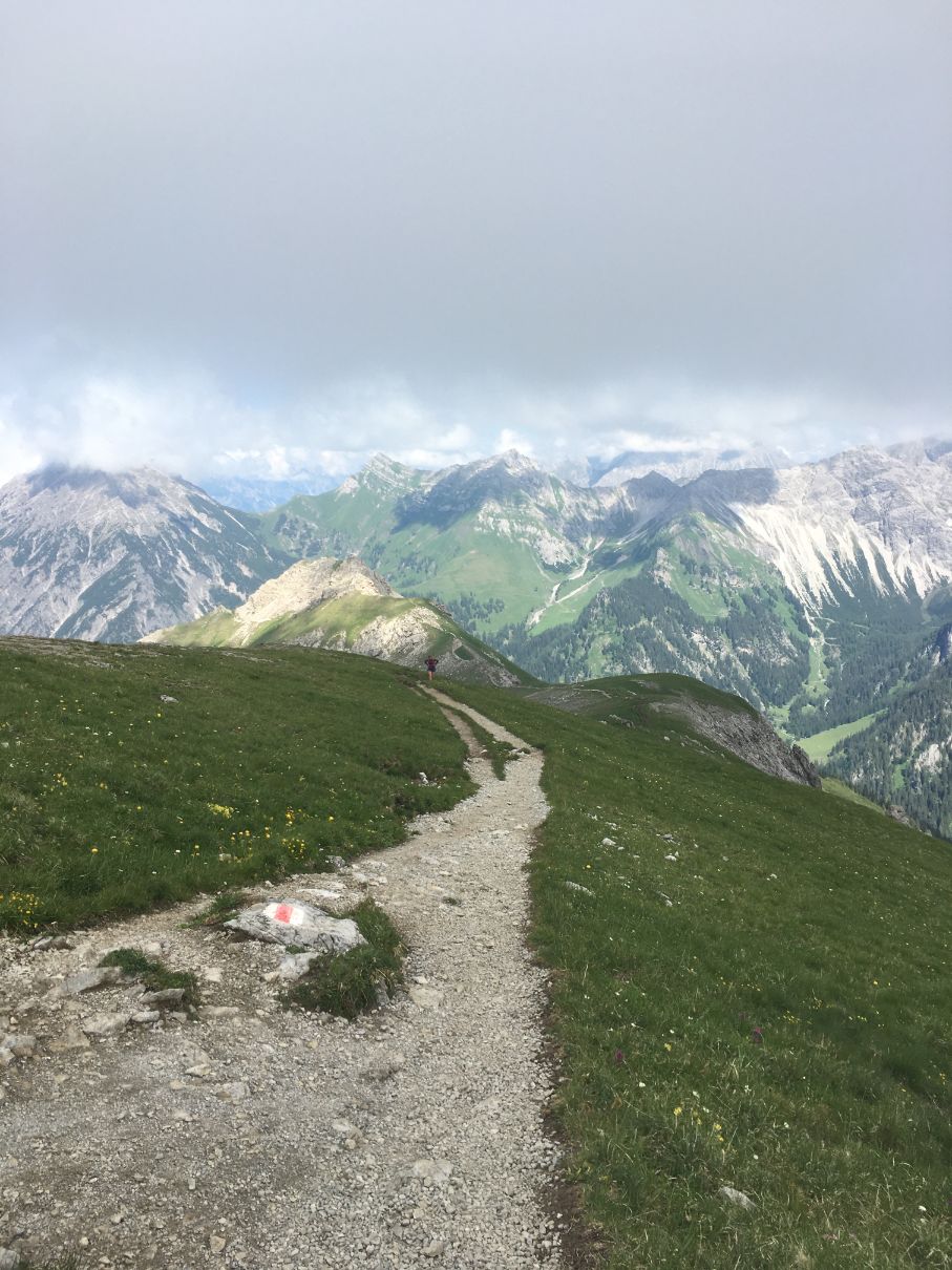
I found overall the hike in Liechtenstein, in Malbun pretty amazing. The weather was great, the hike is not too hard and the views are really rewarding and breathtaking.
I really hope to come back soon and hike other trails of this small little Alps country.
If you have any questions about Malbun, Liechtenstein or hiking there, please let me know, I will do my best to help you.
Do not forget to follow me:
Instagram: @golookexplore
Facebook: golookexplore
Youtube: golookexplore
Pinterest: golookexplore

